Winter in Jordan.

Possible snowfall over Jordan as Polar Vortex splits into two
The polar vortex is splitting into two, leading to an accumulation of frigid air over northeastern Europe and the eastern United States, according to ArabiaWeather.
Computer simulations suggest that by the end of the week, an intense polar air mass will push toward Turkey and the surrounding region, bringing a sharp drop in temperatures, particularly at the surface level.
Cold front to impact Jordan on Thursday and Friday
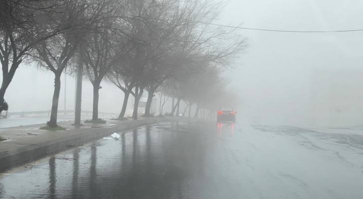
Forecasts indicate that the frigid polar air mass will settle over Turkey by the weekend, triggering a low-pressure system that is expected to affect Jordan on Thursday and Friday. As a result, temperatures across the kingdom will drop significantly compared to recent days, with widespread rainfall, occasionally accompanied by hail.
While some of the cold polar winds will reach Jordan and the Levant after the low-pressure system passes, they are unlikely to cause widespread snowfall in Amman or most parts of the country.
However, limited snowfall may occur on high mountain peaks if the cold air coincides with precipitation.
Uncertain weather patterns for late February
As the end of February approaches, models suggest multiple possible scenarios for the movement of the polar air mass, including:
- A shift eastward toward Iran, resulting in stable but bitterly cold conditions with widespread frost
- A movement toward the Syrian Desert, potentially causing severe ice formation and isolated snow showers
- A direct push into the eastern Mediterranean, which could generate a powerful low-pressure system, bringing widespread rain and snow to parts of Jordan
While forecasts remain inconclusive about the likelihood of a major snowstorm, current models suggest the possibility of scattered snowfall over higher elevations. These projections may change in the coming days as the cold air mass approaches.