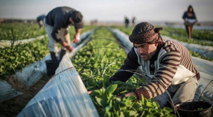
Palestinians harvest strawberries in a field in Beit Lahia, northern Gaza Strip. (December 30, 2015) (Photo: Flash90)

Satellite images shows 57% of Gaza’s agricultural land damaged in war
Satellite images by the United Nations Satellite Center (UNOSACT) revealed that more than half of Gaza’s agricultural lands have been damaged by the “Israeli” aggression.
The satellite imagery taken between May 2017 and 2024 showed that crop fields and arable lands experienced a significant decline in density and health.
“In May 2024, crop health and density across the Gaza Strip showed a marked decline compared to the average of the previous seven seasons,” UNOSAT says. “This deterioration is attributed to conflict-related activities, including razing, heavy vehicle movement, bombing, and shelling.”
Greenhouses across Gaza also sustained significant damage, in addition to orchards.
Gaza in total has around 151 square kilometers of agricultural land, which makes up 41 percent of the total territory of the Strip.