25cm of snow to cover Amman's Sweileh : JMD
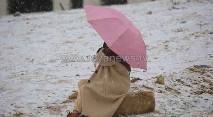
Wednesday, clouds will gradually multiply as of noon, turning Jordan’s skies cloudy, with showers of rain falling in the western parts of the Kingdom, according to the Jordan Meteorological Department (JMD).
Additionally, a snowstorm is expected to hit the country Wednesday evening, leaving 20 centimeters of snow in the highlands, leaving the major part of the blizzard felt after midnight with snow falling over areas that are 700 meters above sea level.
JMD said that the polar weather system is forecast to prevail over the next two days.
The Director of the Meteorological Department, Raed Al Khattab, expected that the thickness of the snow likely to accumulate until 8:00 am on Thursday, will reach 20 to 30 centimeters in the northern heights.
Khattab indicated in a press statement that the highest level of accumulation is expected in the north, in the Ras Munif area, reaching 30 centimeters.
He added that the thickness of the snow in the central highlands will be 5-2 centimeters, explaining that the highest thickness expected for the capital, Amman, will be 25 centimeters in Sweileh.
Khattab said that the southern heights will witness accumulations of between 7-15 centimeters, noting that the highest level of accumulation is expected in the south in Tafileh / Qadisiyah and the heights of the Ma’an al-Shobak Brigade, while the thickness of snow in the eastern heights will be between 5-10 centimeters.